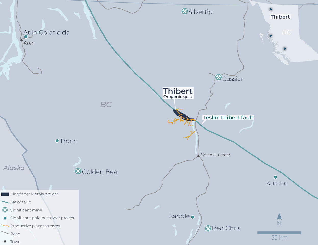
Thibert Project
The 12,475 Ha Thibert Project straddles the crustal-scale Thibert Fault for 25km which is thought to be the source for a significant placer gold camp that dates back to the 1870s.
The project is located along the boundary of the Cache Creek and Quesnel Terranes and encompasses broad areas of silica-carbonate-fuchsite alteration and regionally anomalous orogenic gold pathfinders (Au-As-Sb-Hg) in stream sediment sampling.
About Thibert
Location
History
Geology
Mineralization
History & Timeline
1873
Placer gold discovered in Thibert Creek by Henry Thibert.
1870s-1949
Placer mining on Thibert, Delure, Boulder, Defot, Mosquito, Porcupine, and Vowell Creeks.
1931
The Keystone Showing was discovered upstream of the Boulder Placer Mine with reports of 9.1 g/t Au over 12.2m within a quartz porphyry.
1983-1987
Noranda Exploration completed reconnaissance work including prospecting, rock sampling, and soil sampling. They identified several exposures of quartz-carbonate-fuchsite alteration within ultramafic rocks. Two holes (308m) were drilled with no significant results.
1987
Equity Silver Mines completed a limited amount of backhoe and hand trenching in the Boulder Creek area. One hole (152m) was completed.
1996-2006
Nu-Lite Industries completed a ground magnetics and VLF survey over 6km. Four drill holes (648m) were completed in an attempt to intersect the down dip extent of the Keystone Showing. No significant intercepts were reported despite a Northern Miner article (May 4th, 1998) reporting 7.09 g/t Au over 7.62m. Further programs by Netseers Internet Corp (2000) and Jet Gold Corporation (2006) did not return any significant gold mineralization.
2019
Kenorland Minerals completed a program that included a property wide LiDAR survey and surficial geology mapping.
2020
Thibert property acquired by Kingfisher Metals
Regional Geology
The Thibert Project follows the surface expression of the Thibert Fault system with the Cache Creek Terrane on the south, Quesnel Terrane to the north. Terrane bounding faults are often deep seated and crustal scale, reactivated during accretionary strike slip tectonic faulting, and are important controls for mineralizing fluid conduits.
The exotic Cache Creek terrane represents a tectonically emplaced package of rocks with oceanic affinity that is separated from the volcanic and sedimentary rocks of the Quesnellia terrane by regional faults. These faults include the Thibert, Kutcho, and King Salmon faults.
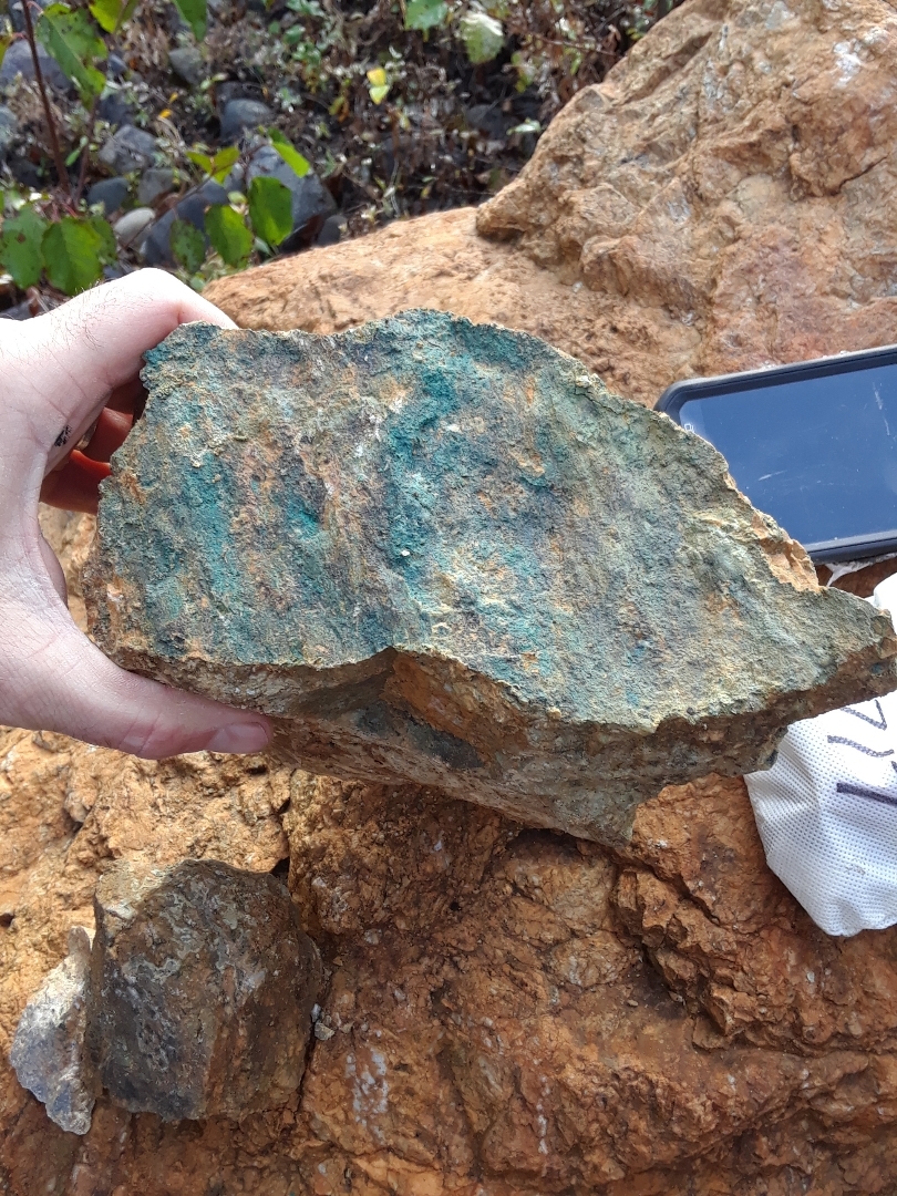
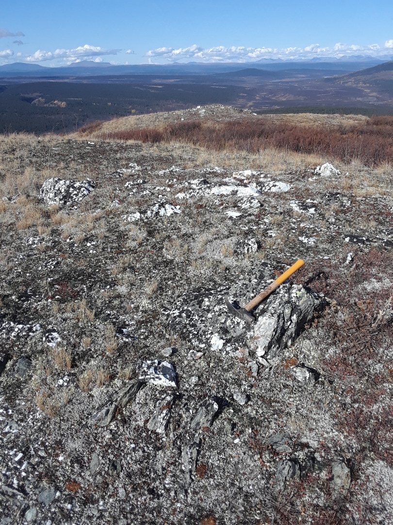
The Cache Creek Complex is comprised of ultramafic rocks that are inferred to be Mississippian to Triassic in age. The Cache Creek complex represents upper mantle and lower crustal portions of an idealized ophiolite sequence. Also within the Cache Creek terrane are equivalent portions of an upper, younger portion of an ophiolite, comprised of mafic to intermediate volcanic and pelagic sediments. The Kedaha, and Inklin formations represent the upper most portion of an ophiolite, whereas the Kutcho and Nakina formations represent volcanic and intrusive rocks that are thought to be upper to lower crustal equivalents. Variably serpentinized peridotite is the most abundant lithology within the ultramafic units. Peridotite is comprised of predominantly harzburgite, lherzolite, and dunite. Peridotite is typically weathered orange/brown, and is dark green to black unweathered (fresh). Pyroxene bearing peridotites typically contain 10‐20% orthopyroxenes, minor augite and contain accessory chrome spinel and secondary magnetite.
Sedimentary rocks typically in fault contact with peridotite include phyllite, limestone and chert mapped as Kedaha and Inklin Formations. These fine grained, heterolithic siliciclastic rocks are typified by medium grey to black weathered, laminated to thinly bedded with variable degrees of deformation. Contact zones proximal to peridotite typically exhibit schistose textured argillite with quartz segregations and common bull‐quartz veins. Rare limestone lenses within the Kedaha formation are light grey weathered, medium grey fresh, and exhibit a fine grained, micritic composition.
Property Geology
The predominant lithologies of the Cache Creek terrane found on the Thibert Project are; peridotite that has been variably serpentinized, metasedimentary rocks of the Kedaha Formation, and intrusive rocks of the Takla Group.
Within the Thibert Project, Takla Group lithologies include the Shonektaw formation and Nazcha Formation. Cache Creek rocks include Fine grained quartzite and carbonaceous shales of the Kedaha Formation. Shales are fissile and flaggy mud stone with variable amounts of carbon. Sandstones and siltstones have been metamorphosed to foliated meta-quartzite. The strike of the well developed foliation roughly parallels that of the Thibert Creek Fault. The schistosity generally dips 60 to 70 degrees.
Ultramafic rocks occur as lenses of serpentinized peridotite in close proximity to Thibert Creek and the Thibert Fault.
Mineralization
The source rocks of the placer gold mined in Thibert Creek appear to be the narrow band of ultramafic rocks along the Thibert Fault. The only gold producing creeks in the area either follow or cross the Thibert Fault.
The highest gold values during placer mining were recovered from the gravels in Thibert Creek downstream from Berry Creek with lesser concentrations at the Mosquito Creek, Thibert Creek junction, and in tributary creeks such as Defot, Bear, and California.
Placer gravels were reported to contain coarse gold with abundant associated quartz. Mineralization has been observed in black shale horizons, ultramafic rocks, and quartz porphyry.
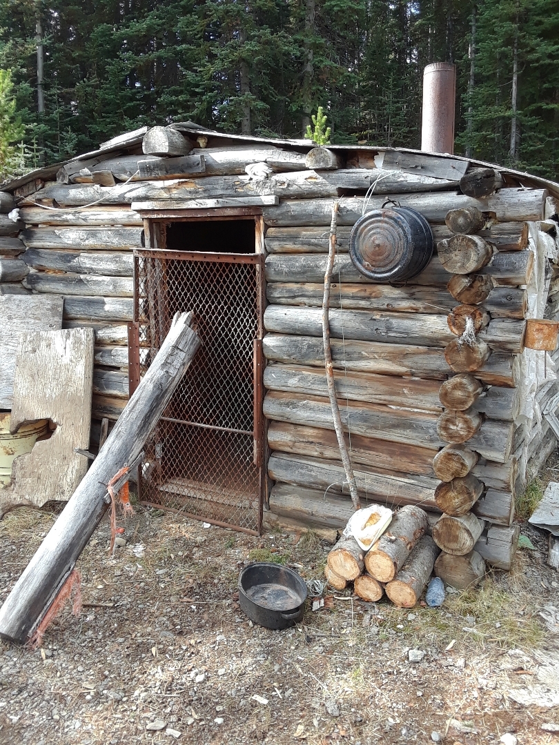
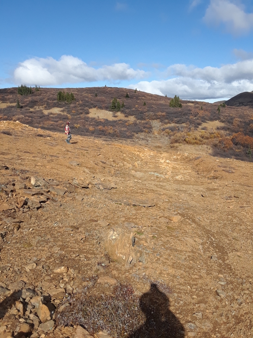
Photo Gallery